Overview
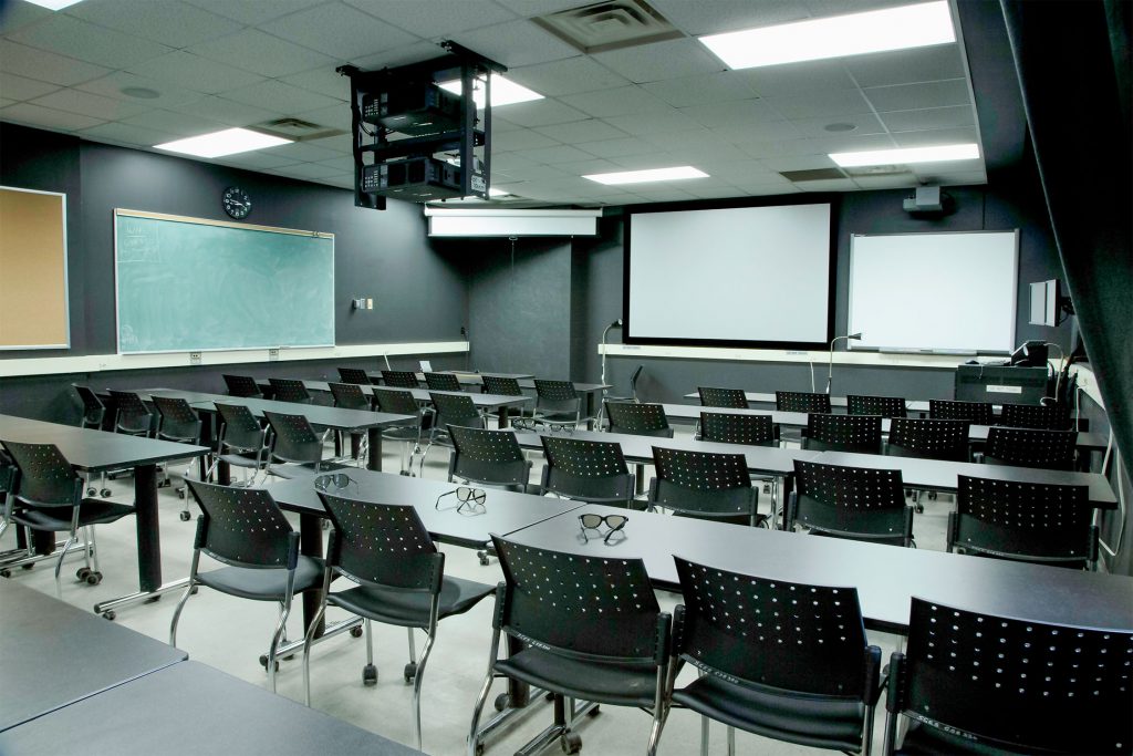
The 3D GeoCAVE (Centre for Advanced Visualization and Exploration) provides the ability to display 3-dimensional remote sensing, geological, and GIS data. The facility is used in undergraduate courses for 3-dimensional analysis and interpretation of geospatial data, and also as part of our outreach programs which bring high school students onto campus to explore career possibilities in the geosciences.
360 Virtual Tour
Use your mouse or arrow keys to move the camera in the virtual scene below and explore the different points of interest.